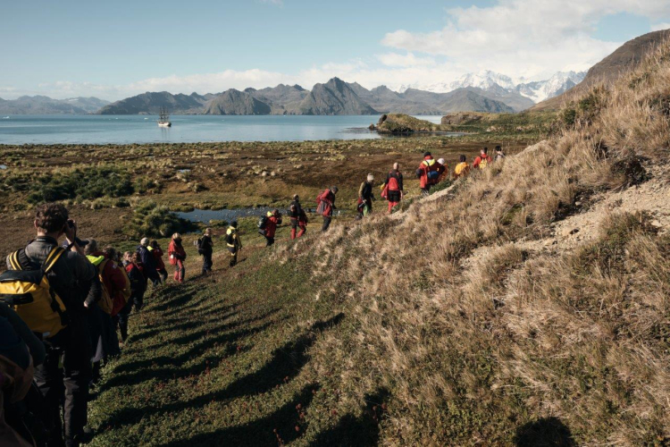
Jason Harbour and Maiviken
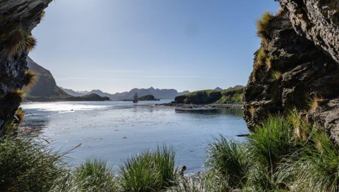
Blown off our anchorage during the night, EUROPA drifts until the early morning, when the gusting winds shooting down the several glaciers that surround Cumberland West Bay, calm down. Then the skies clear up, sun shines, temperature rises, just a gentle breeze blow at Jason Harbour.
Jason, one of the almost forgotten ship’s names, but worth to remember. As it is one of her Captains, the remarkable Norwegian Carl Anton Larsen. Son of a sea captain, he was already sailing as soon as he could walk. Passionate about exploration, science and business as well. One of the main characters of the struggles and incredible survival adventures of the Swedish Antarctic Expedition 1902-04, when Nordenskjold tempted him to return, now aboard the ship Antarctic, to the seas he had explored previously in 1892-93 on the sealer Jason, when he discovered Oscar II Land on the west shore of the Weddell Sea, the Larsen ice-shelf and sailed as far as 64º 40’ S. Stopping too at South Georgia they charted many places along the northern coast including our morning planned visit ashore, Jason Harbour, and some of the areas where we may end up going during the rest of our trip, like Larsen Harbour, Royal and Cumberland Bay.
The Jason was a ship Larsen was familiar with as he had been aboard her during the famous voyage that brought Fritjof Nansen to Greenland during his east-west crossing in 1888.
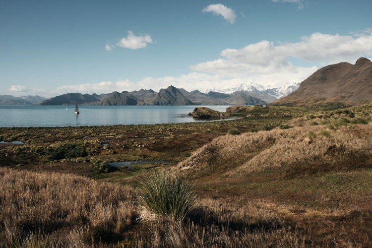
As a dynamic entrepreneur, he soon realised the whaling potential on these waters, building the first whaling station in the island, Grytviken. Not long after, he also got a lease on Jason Harbour, but no stations were built here, just a small hut, which still stands close to the beach next to a picturesque rocky cape. A spot which saw us ashore to visit such a wonderful site.
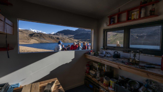
Still in use nowadays, the hut built for deliveries to and from other whaling stations around Stromness Bay it is always an interesting stop for the start of the visit ashore. Carvings on its wooden table date all the way to 1925, some of the original stuff is still around, plus a polished rock slab lays on the floor showing a carving from 1912 with a name, N. Henrikson.
Nicknamed “The King of South Georgia” he ran Leith Harbour between 1909-1918, starting right after the construction of the whaling station by the Christian Salvesen Company. Henrikson’s family business also provided plans and machinery for the setting up of the station. Leith ended up being the largest whaling base in the island, that operated until 1961 before it was leased to a Japanese company until 1965.
Tussock grass grows here stretching from slopes uphill to down below close to the shoreline. In South Georgia, the tussock formations usually extend from the coast to heights of 225m above sea level. Often these plants, consisting of a large stool with a dense crown, reach over 1.5m tall with a diameter of 0.5 to 1m. On moderate slopes reachable for penguins and seals, they are crushed and flattened, leaving mud pools in-between them. All of which makes for a challenging walk through. But high above the terrain eases, allowing for fantastic views over the whole region under this sunny day. Down below the top of the hills, the ground levels up leaving behind a maze of ponds and flat soggy plains with scattered tussock stools growing amongst the grass. Here a few King penguins make their home and breeding area. Today just a few of them sunbath at the pebble beach, while a handful are a bit higher up raising their chicks.
Second planned landing today is in Maiviken. Weather holds remarkably well and sun still shines with full power to an extent that we have to take a layer or two off for our little hike. Located not far from Jason Bay, Maiviken is tucked into a coastline of cliff headlands and scree slopes that separates Cumberland East and West Bays. Entered between Rocky Point and Mai Point, the bay is encircled by steep-sided mountains and cliffs, with three small tussack-fringed coves on its eastern shore - Tortula Cove, Burnet Cove and Poa Cove.
The area was well known to early sealers, and was heavily used by them during the early 18-hundreds. Antarctic fur seals, after being practically extinct due to their extremely successful practices. Not to forget their hardships both aboard their sailing vessels and ashore, when different teams of them were put ashore at different spots to live and work in precarious conditions while the ship journeyed to keep exploring new grounds until it was time to pick them up together with their precious cargo of dry and salted seal skins.
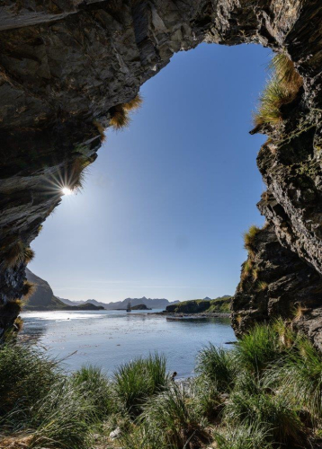
Here, they have left traces of their presence in several of the caves around the bay. One of those happened to be just next to our landing site and our first steps after landing led to it. Unfortunately, the cave was left in quite a despair, dirty, with wooden walls falling apart.
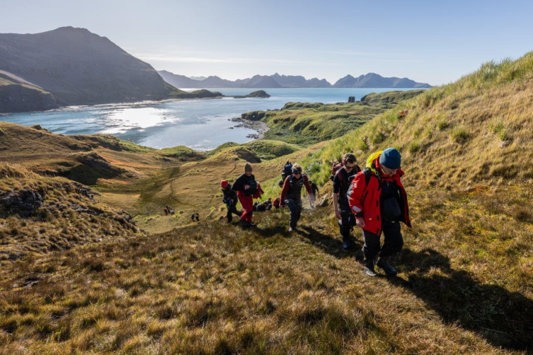
Usually, the Maiviken landing is done with intention to hike all the way to Grytviken, however today, due to time constraints and an upcoming landing in Grytviken tomorrow, we decided to hike up to the nearby lake and viewpoint and return back from there. The hike started with negotiating seal filled tussock grass area starting just behind the cobble beach and slightly rising higher up the hill. Like this morning, we deal again with the sometimes formidable obstacle that this sort of terrain represent for a good hike if you have to go through it.
Stools of grass can be small, slippery and they rise high above the ground, often creating deep holes next to them. Quite often, they are hard to see and one can easily fall into them as two of our fellow companions learned quickly. Thus, initially it was a slow going but once the area was left behind, the way uphill was much easier. We still walked on grass, but regular short one, soaked with water creating almost swampy surface. Quick look back at the bay we admired the grandeur of display South Georgia put up for us. Lush green grassy hills, steep cliffs and mountains in the background framing the bay with waster of turquoise colour under today's sunny weather. The glare on the water surface was so strong, one could easily miss Europa leaving the bay temporarily. Captain Janke decided, it made more sense to leave the bay and wait out until the end of our hike, rather than trying to drift inside.
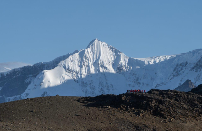
Soon we reached a plateau and different kind of landscape opened in front of us. Still walking uphill but no longer so steep and more on a rocky surface with scattered patches of yellow grass. In the distance, the white snow covered alpine peaks are towering to the sky, reaching almost 3000m altitude, contrasting with deep blue sky and warm yellowish grassy rolling hills. Soon, we spot the water surface of Maivatan lake and the distinctive shape of a field hut, built in 1974. This refuge is frequently visited by scientists and researchers from the neighbor Grytviken and the scientific base of King Edward Point. It also provided a retreat for them residents of King Edward Point. Coming closer to it, we are welcomed by three friendly Grytviken field staff members working on the building of a new hut. After a few words, we continue our walk alongside lake shore to a nearby view point, which mark the turning point of our hike. It is a rocky outcrop we have to climb up to opening up a whole new view from a different vantage point. In the distance, at the next mountain saddle (Dead Man's Cairn), we could see a group from another visiting ship that are this afternoon at Grytviken. At that point we turn back and retrace our steps back to the landing site.

