Lemaire Channel
65 04 ́66 ́ ́S, 63 59 ́97 ́ ́W This morning we ventured further South by cruising through the Lemaire Channel.
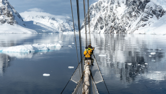
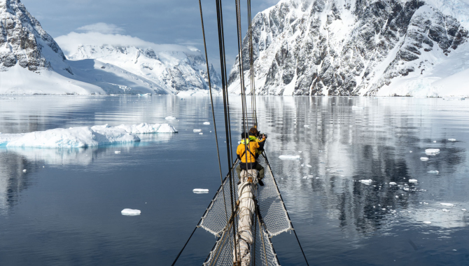
The experience was magical. After two days of snow and a white layer covering the deck, the sky cleared up completely, right before entering the channel. Everyone was outside in the sun to enjoy the magnificent surroundings of the steep slopes of the passage. The entrance looked rather blocked with ice. Expedition Leader Mafu climbed up the mast with a radio at hand, to help the captain navigate through the ice.
The Lemaire Channel is about 7 miles in length and averaging about 1 mile wide, extending in a NE-SW direction from Splitwind Island and False Cape Renard to Roullin Point and Cape Cloos, and separating Booth Island from the West coast of Graham Land. It was discovered by a German expedition under Dallmann, 1873-74 but it was not traversed till December 1898 by the Belgium Antarctic Expedition under Gerlache, and named by him after Charles Lemaire, Belgian explorer of the Congo.
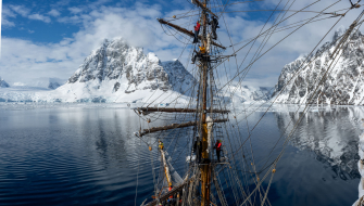
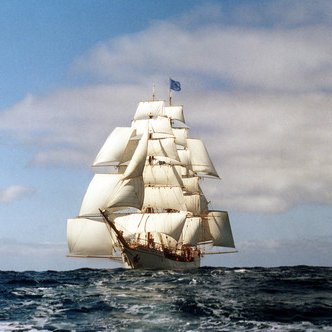
The narrow passage of the Lemaire Channel with its steep icy slopes on the side allows for spectacular sightings. With this weather and calm water, we were especially in for a treat. As EUROPA was graciously gliding through the ice blocks in the water we saw a whale starting to move in the same direction as we were. It was a humpback whale, that showed its beautiful fluke whilst diving down multiple times. Penguins were flying through the water, and it felt like we were in paradise.
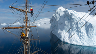
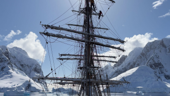
Many of us took advantage of the beautiful weather and calm waters to climb up the rigging to have a completely different view of our surroundings from high up, which resulted in some spectacular images. On the other side of the passage waited beautiful calm waters packed with icebergs. We saw a humpback whale hanging around just a few meters removed from the ship, and as a cherry on top, an iceberg at a safe distance collapsed and turned around in front of our eyes. What a morning!
